Firth of Moray
Arielle Kommentare 3 Kommentare
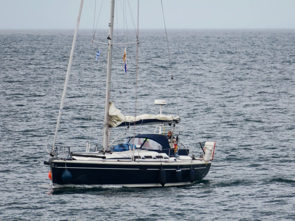
The last 100 nm on our way to Inverness we devided into 3 legs. After rounding Rattray Head we made out for the Firth of Moray changing our course to west. How lucky for us that the wind now came from south. This meant a very comfortable sail, fast and upright and with a flat sea. The favourable wind and the sunny skies would stay with us for the next three days.
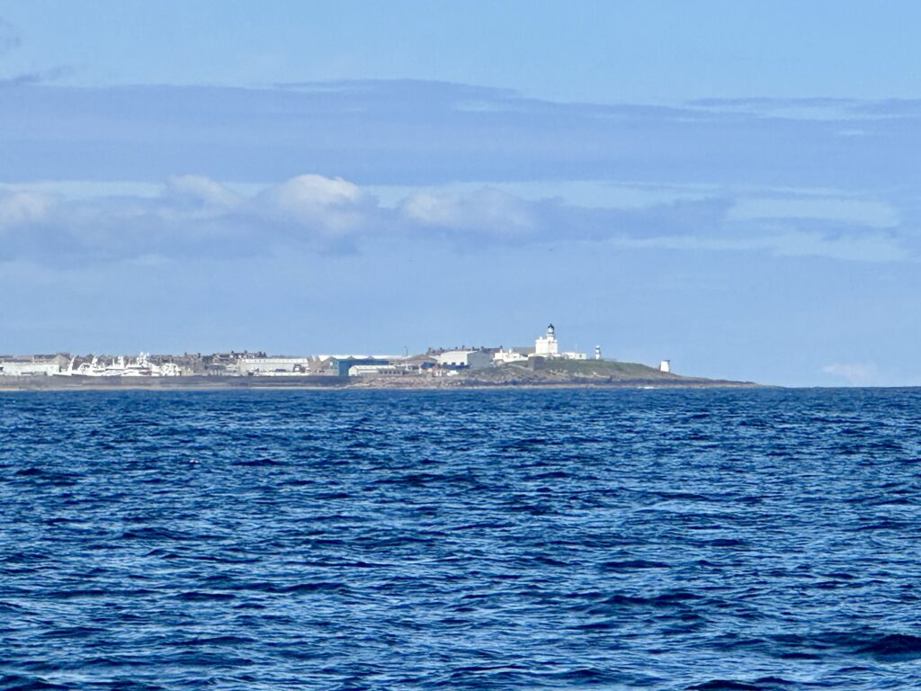
Whitehills
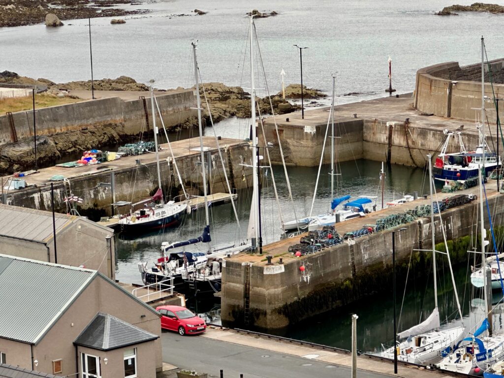
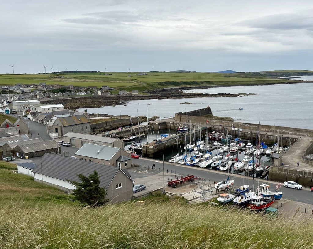
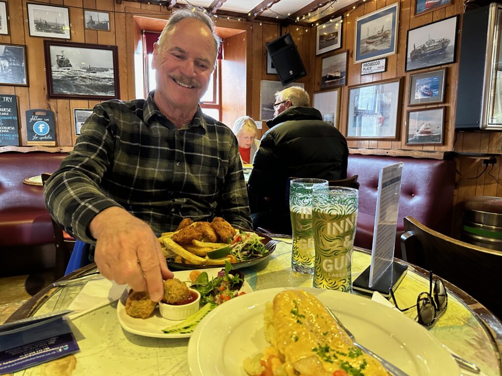
The coast of the Firth is facing north, meaning that the harbours here are all exposed to winter gales coming from that direction. The harbour walls are fortified to an extent, that they resemble those of strongholds warding off fierce enemies. The harbourmaster of Whitehills has a habit of standing on the pierhead wall personally welcoming every incoming visitor. He gives directions were to berth the boat and he takes pictures. Coming to the designated place he takes the lines and gives further information…and he gave us a SD-card with the pictures of our boat on it. What a service!!! In the evening we had a first taste of the Scot Cusine in the Seafield Arms Pub and, as it is wise to do in Rome as the Romans do, we ordered battered and fried haggis balls, smoked haddock and Alex had monkfish with homemade chips and salad. We were more than pleased.
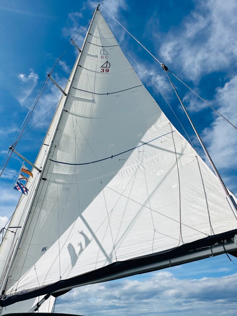
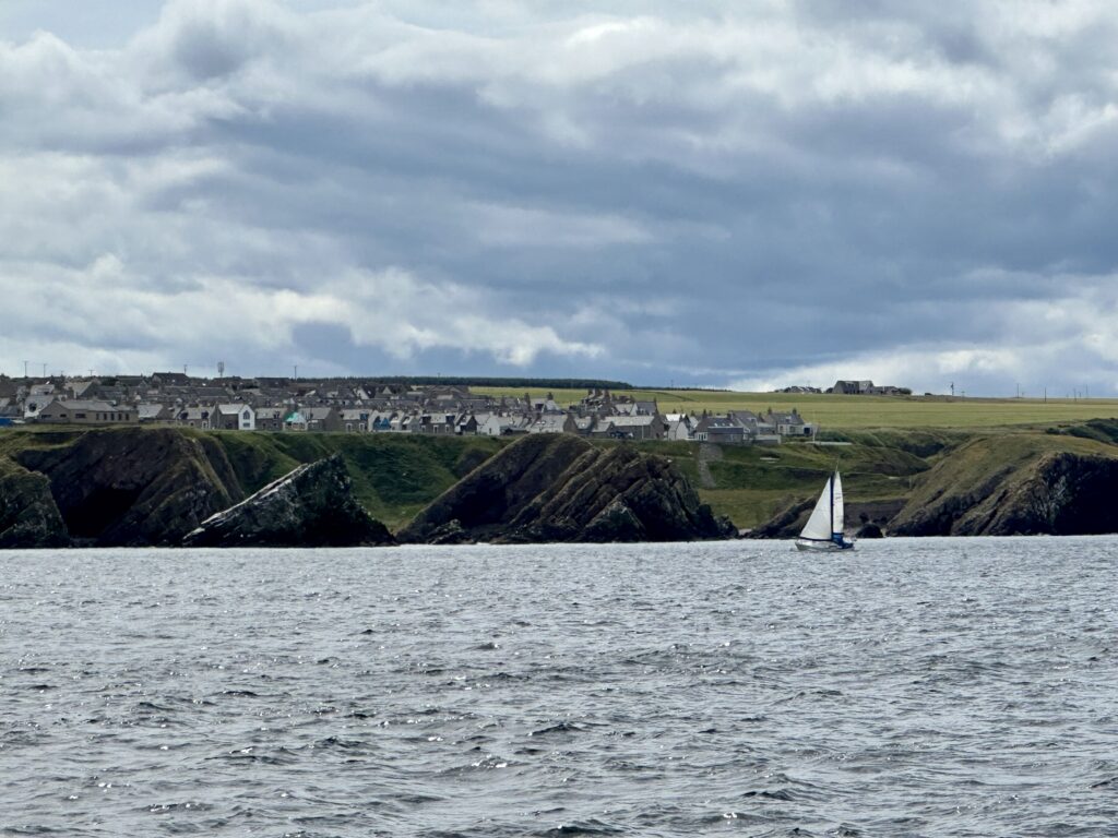
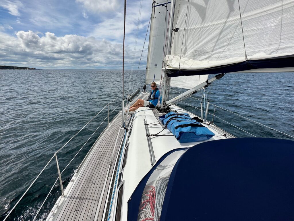
Lossiemouth
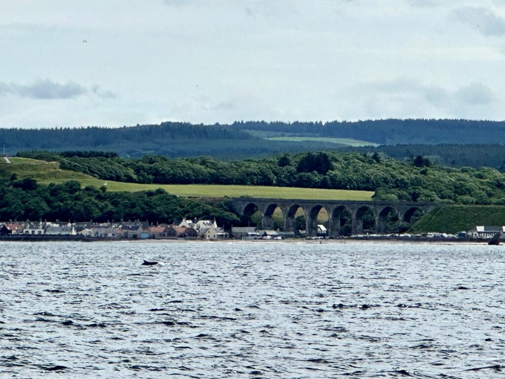
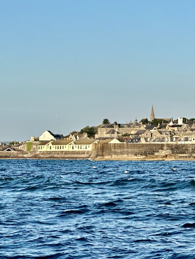
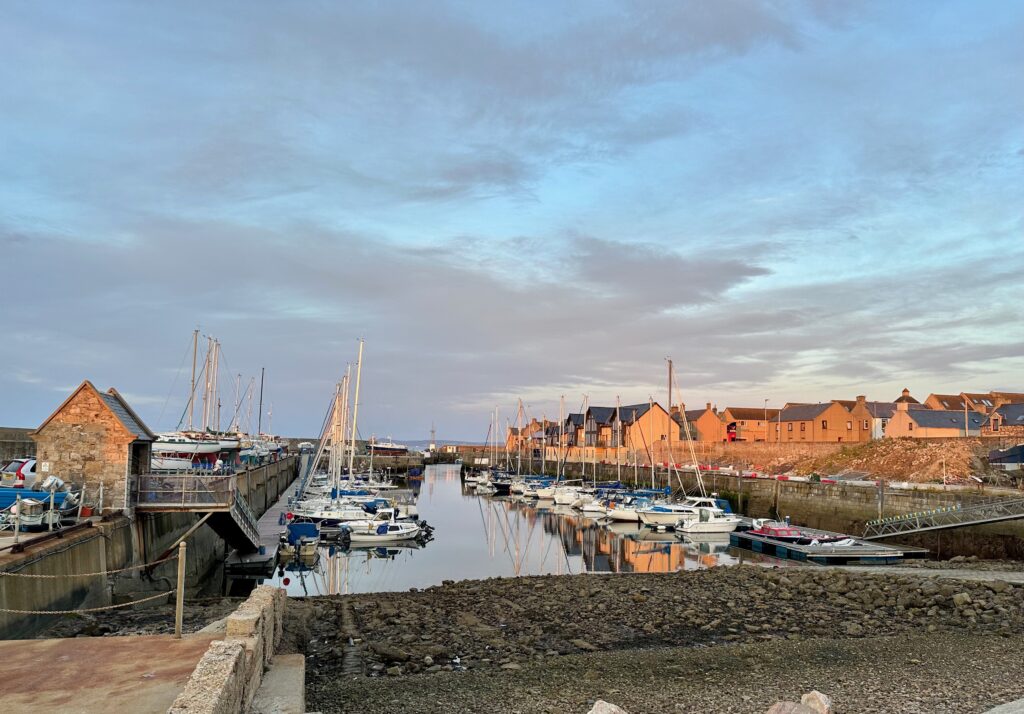
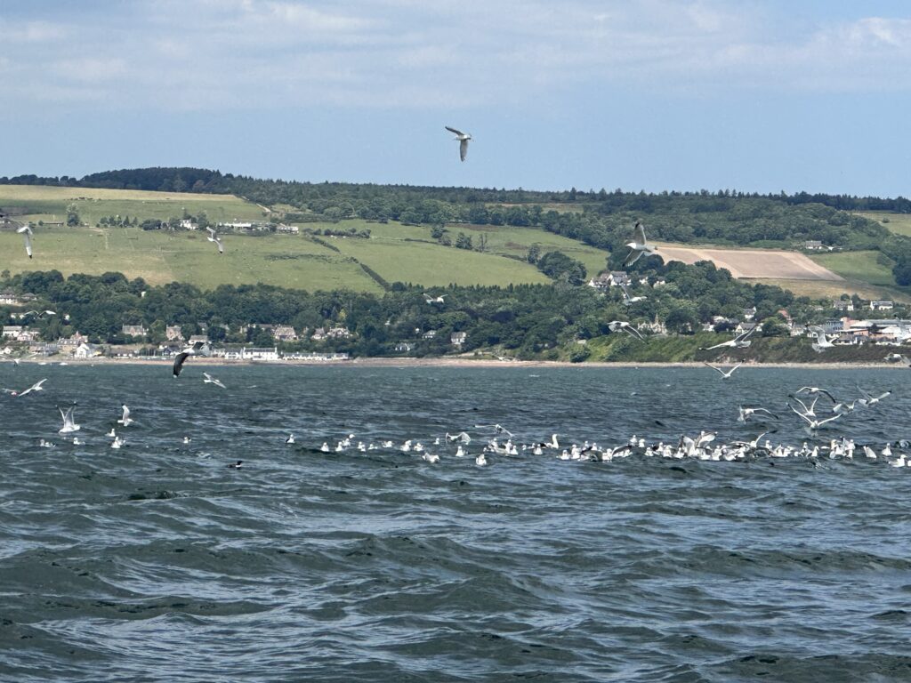
Sailing further into the Firth headed for Lossiemouth only 20 nm away, we kept close to the beautifull coastline. Lush green hills are alternating with the sharp edges of cliffs. Here too one can see the workings of wind and water. The entrance to Lossiemouth is just as narrow as that into Whitehills, and it likewise requires a sharp 90° turn into the inner harbour, which gives utmost protection agaist the sea.
We explored this small former fishing port and, having fancy for a beer, we headed for a local pub. Here we got a first impression of how friendly and eager to socialize the Scots are. Three young men had a seat at our table and inquired where we were from and they wanted to hear the story of our trip. But they also told us about life in this part of Scotland. About the decline of the fishing industry, which can no longer provide for a living. But still men set out to sea to fish all year round, still causing fatal incidents, one of which had occured only last winter claiming the life of three. And they told us about their life on the offshore oil riggs. Three weeks working in 12 hour shifts and three weeks off duty. As it was the day of commemorating the desasterous explosion on Piper Alfa exactly 35 years ago they told us, that the first emergency call notifying of the unfolding catastrophe, had been received at the Search and Rescue Station at Lossiemouth.

Inverness Firth
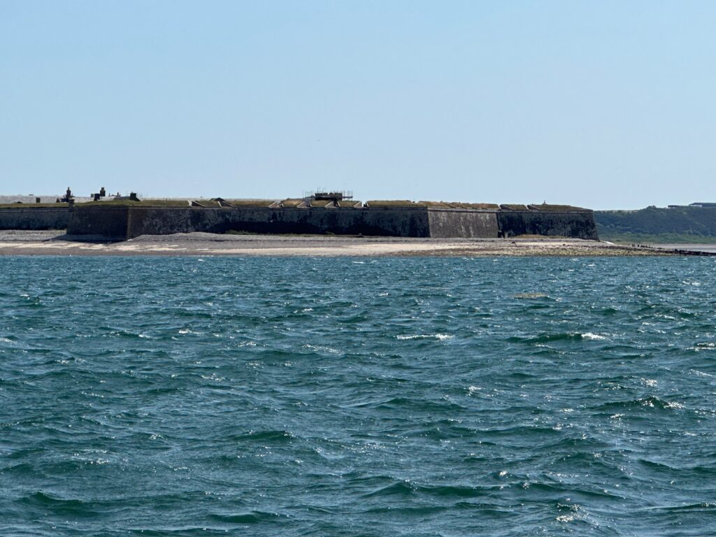
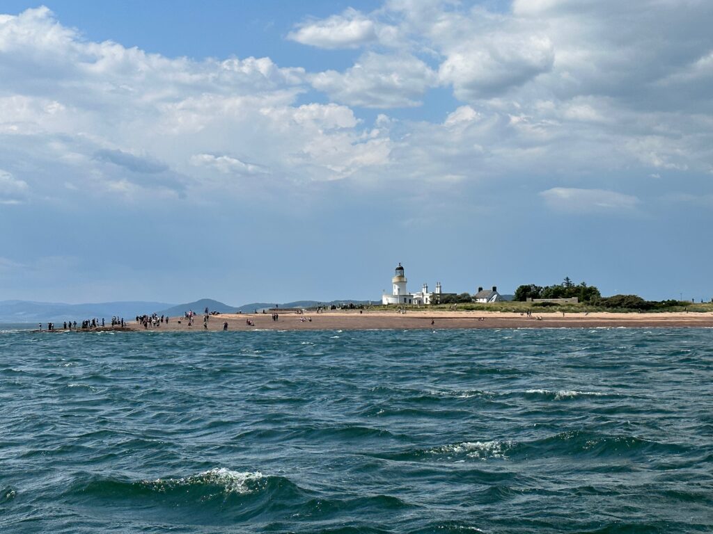
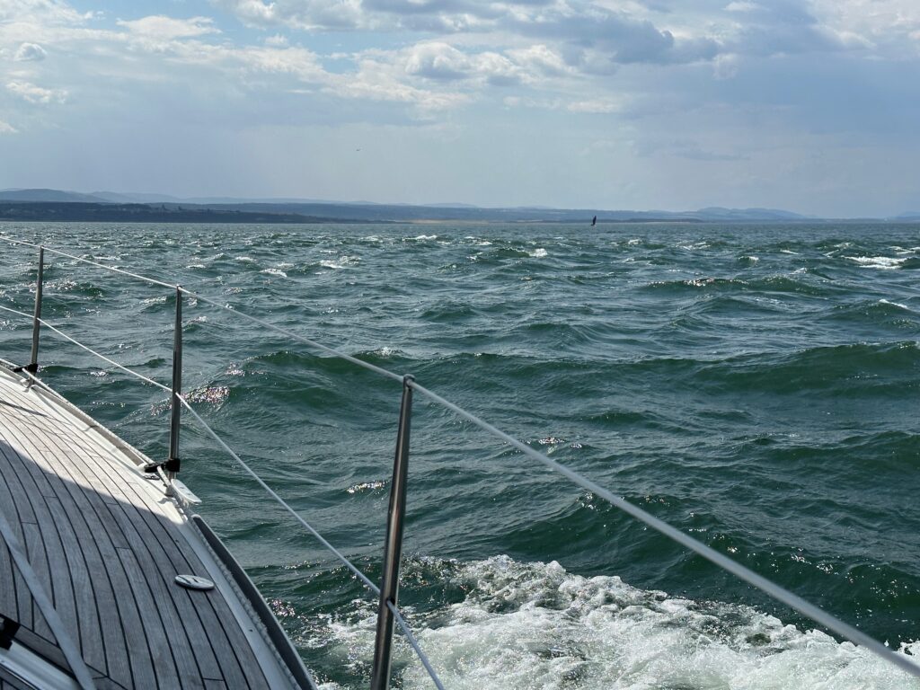
The Inner Moray Firth, between the narrows of Chanonry Point and Fort George, is called the Inverness Firth. And here it starts getting tricky. We calculated to leave Lossiemouth at no more than two hous after high water 04:00 h. Currently having a spring tide, there would be 1,5 m of water left in the harbour at low water. With a draft of 2 m we prefer to have at least 3 m of water, so we decided on pushing out of the harbour at 06:00 a.m. To navigate the sands and narrows of the inner firth, we would need a favourable tide, which would start running only at 11:00 a.m. At a speed of 7 kts and less than 30 nm to go, we would be there way to early. We put in the 1. and then the 2. reef in order to slow down to 5 kts. Which proved very practical as the wind picked up to 6 to 7 Bft. when we skirted around Riff Bank and the flats of Meikle Mee. Right after Kessock Bridgs on port there is the entry to River Ness, where we took the sail down. Alex brought out the fenders and shorelines while I struggled with keeping the boat in position in a cross tide running at 3 kts.
3 Gedanken zu „Firth of Moray“
Für derartige Häfen lohnt sich die Reise schon.
Please give my regards to Nessie – in case you see it!
We will keep a sharp lookout