2018 Channel Islands
At the end of the season of 2017, I had a nice chat with a lady from a neighboring boat about how we had spent the past summer and what our plans for next year would be. She had sailed with her partner along the south coast of the UK as far as the Isle of Wright and from there to the Channel Islands. The return trip they had made along the French coast. This sparked in me the idea of doing exactly the same.
I soon started preparations by reading pilot books and the Reeds almanac. I bought the necessary Imray maps for the British waters, as I always prefer local maps. I made an effort of inserting the corrections (which are issued regularly) into the maps. This not only makes you aquainted with the terrain, it efficiently practices finding precise positions on the map in short time. And I enrolled in SSS sailing course (the German equivalent to the British Yachtmaster offshore). As our boat is equipped with radar, it was important for me to to learn the basics of radar plotting. Handling the Admiralty Tide Tables is also part of this training. Getting the tides right would be essential for us, not only for making good progress, but also for arriving at the correct time at the harbour entrance. Getting it wrong could mean a long wait at the gates … or worse. The tide calculation, with some practice, is not complicated, however I grew to be a great fan of the Imray Tides Planer Application. It gives precise and comprehensive predictions of tides and currents. In the beginning of our journey Alex counter calculated, as he had no trust in an application. But our experience proved the reliability … so sooner or later he gave in.
The journey begins here
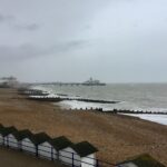
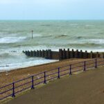
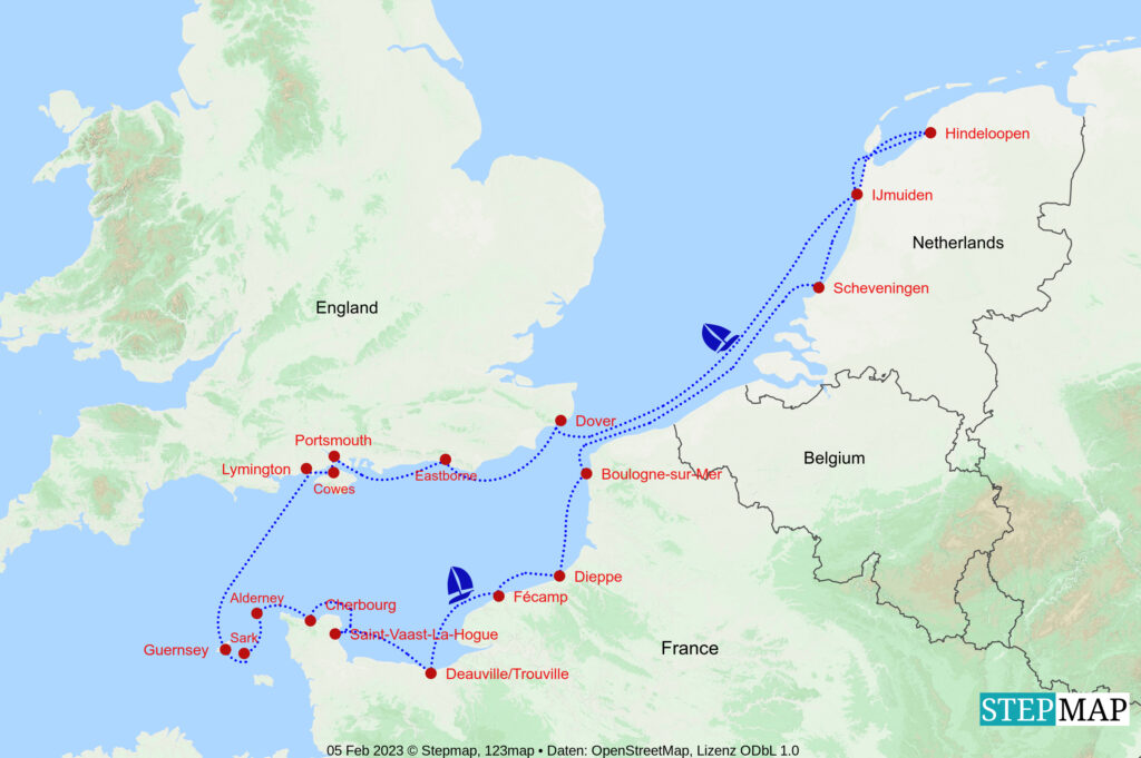
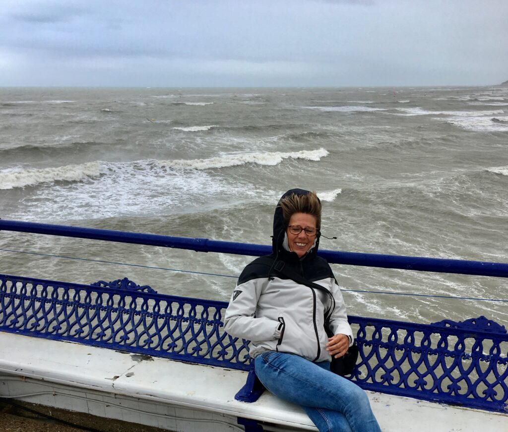
We once more set out to the North Sea from IJmuiden. This time we left the Belgian and French coast out, as navigating through the offshore sands often means a considerable detour. We headed straight for Dover where we planned to rest for a day. However, a check of the weather forecast the following morning suggested an immediate departure, as a depression with gale force winds was on the move in our direction. We would have been stormbound at Dover for the next days … and we would have missed the arrival of our friends, who were to come by ferry from Dieppe to Newport. So we directly proceeded to Eastborne, arriving there at nightfall around high-water. A bouyed channel leads you through the shallows to the lock at the harbour entrance operating 24h. The next morning at low water we had a look at the channel and were amazed to see the green bouys lying high and dry. In Netherland we navigate at the starboard side of a buoyed channels where depths will be sufficient. Had we done this here we would have run aground.
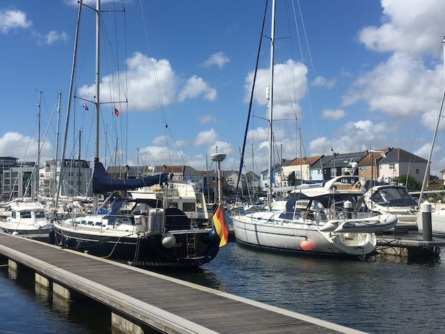
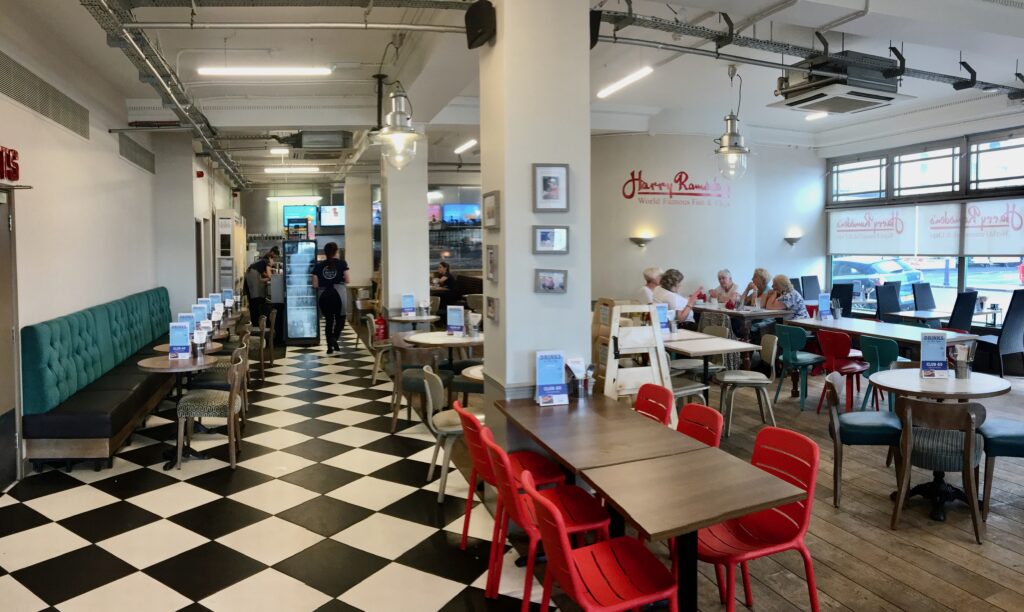
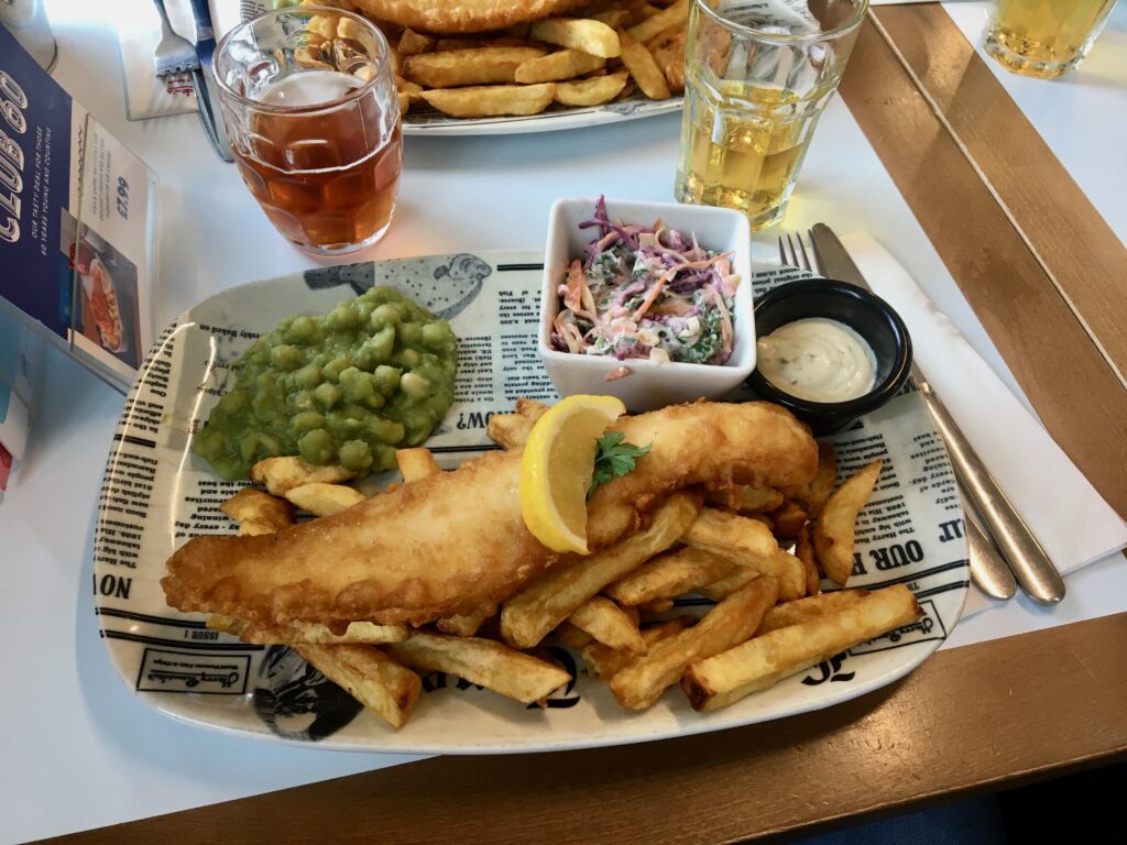
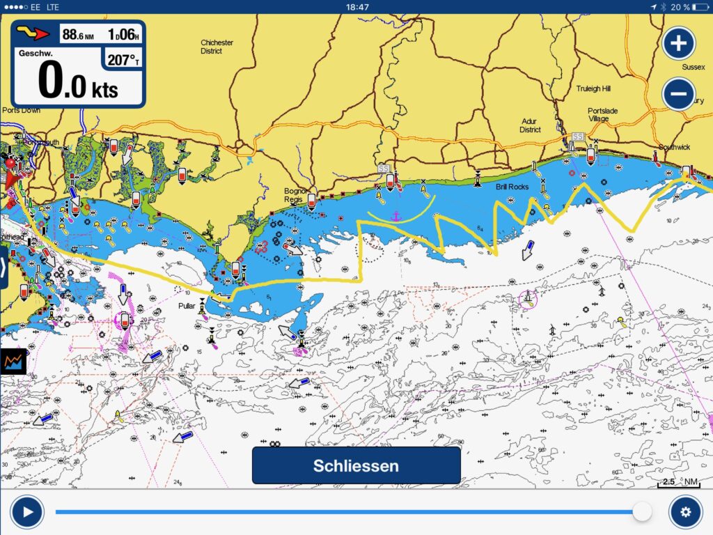
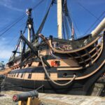
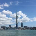
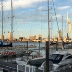
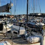
Finally the gale receded and we could sail off to Portsmouth rounding the notorious Selsey Bill with its off-lying submerged rocks. We docked at the Royal Clarence Mariana, which definitely earns the name. With the ferry at Gosport we crossed over to Portsmouth and mingled in with the tourist crowd at the Royal Navy Museum. We took a close look at Lord Nelson’s battle ship HMS Victory and at the Mary Rose, Henry VIII ’s flagship, which sunk with all splendor in the Solent right after its launch.
Cowes - Isle of Wright
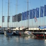
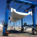
We arrived a day before the beginning of Cowes Sailing Week and got the last available berth in the crowded marina. There was a great hustle and bustle going on with crews and boats coming in for the competitions. We were allowed to stay for one night, enough to give us time to marvel at all these sleek racing boats.
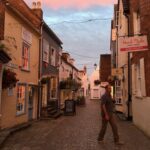
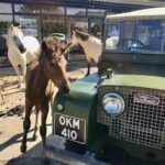
Cowes Sailing Week is a major event in the area, so it was impossible for us to find a berthing in any other harbour on the Isle of Wright. We tried our luck in Lyminghton on the opposite side of the Solent. This is a very pleasant small town with cobble stone streets, gift shops, boutiques, tea rooms and restaurants. It is adjacent to the New Forest National Park and only a couple of miles from pittoresk Beaulieu village, where donkeys and horses are freely roaming the streets.
The Needles
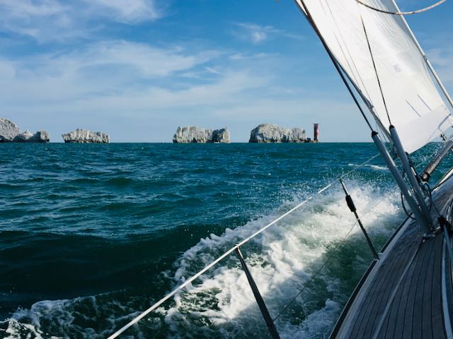
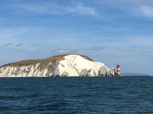
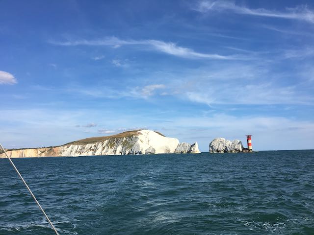
For a passage over to the Channel Islands you have to make your planning taking the tide into account. The distance is about 90nm meaning +/- 15 hours. We made our tide calculation and decided on a start in the early evening with a favorable tide for passing the narrow channel between the Isle of Wright and the Shingles. We would arrive in daylight at St. Peter Port on Guernsey close enough to high-water to pass the sill to the harbour.
Channel Islands
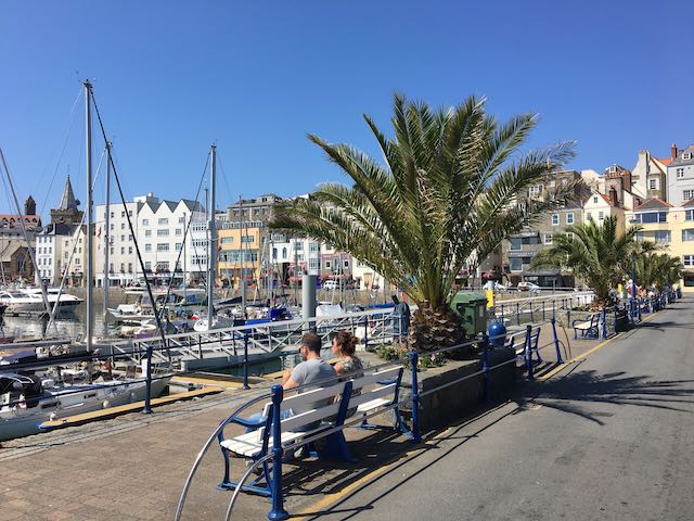
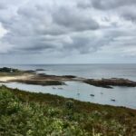
We made landfall on Guernsey, the second largest of the Channel Islands, which also comprise the islands Jersey, Herm, Sark, some lesser islets and a labyrinth of rocks and reefs. The islands are dependencies of the Crown, but they were, even before the Brexit, neither part of the UK nor of the EU. So we had to make a declaration of entry with the authorities, which is handled quite pragmatic by filling out a form and dropping it into one of the provided boxes around the harbour. The islands have a mild maritime climate with flowering vegetation and a fine scenery and it is delightful to tour around the island.
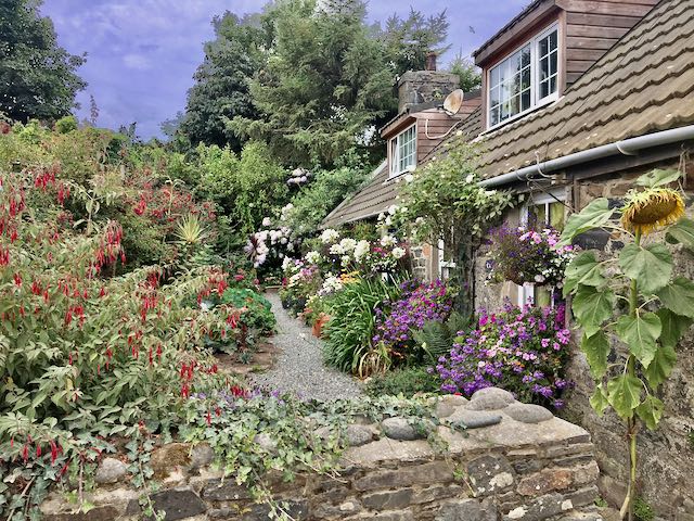
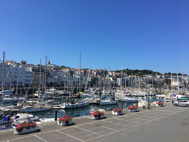
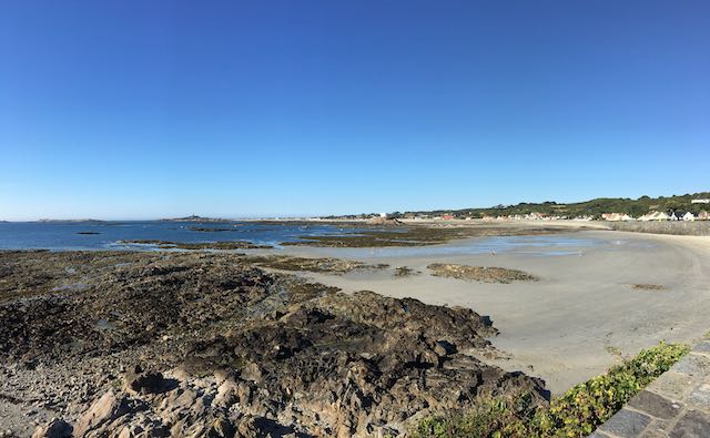
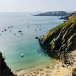
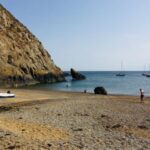
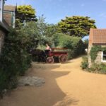
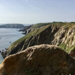
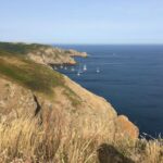
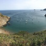
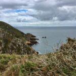
In a Pilot book I had seen fascinating pictures of the anchorages of Sark, so a visit there was an absolute must. This island is special in many aspects. Unlike all other Channel Islands it essentially consists of a plateau, rising more than 100 m high, with a scenic coastline encircled by cliffs. It consists of Great Sark and Little Sark, which are connected by a 10 m wide isthmus, called La Coupée. Sarks feudal government survived into the 21st century. The seigneury was inherited from one generation to the next. Only in 2008 the laws governing the island were changed and now allow a popularly elected assembly. Justice is still administered by the court of the seneschal. I looked this up in Wikipedia: It dates back to the Carolingian empire and is a sort of court council. Another peculiarity is the fact that canine population is controlled by allowing only the Seigneur to keep a female dog. The scarce human population of this island lives mainly from their own farmland produce, or to some extent from a very small scale tourism. Automobiles are prohibited, transport is provided for by horse carriages, tractors and bicycles. There are plenty of anchorages around Sark, we decided on Derrible Bay.
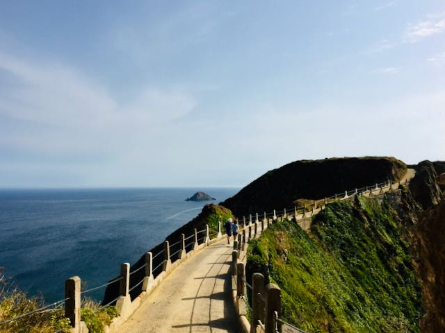
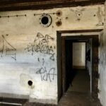
The island of Alderney is also a tableland with a ragged coastline. We anchored in Longy Bay (southeast), backed by a nearly filled lagoon. When attempting to enter the Bay you have to reckon with strong currents. Coming from south this meant in our case, having a leeway of close to 40°, steering onto the off-lying rocks on our port side in order to avoid being set onto the rocks on starboard. The bay has a good holding ground which is essential here, as you pivot around the anchor with the tide current. When setting foot on the island we encountered for the first time remnants of the German occupation in World War II.
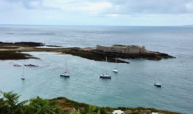
When heading for Cherbourg on the French coast, you will have to negotiate the notorious Alderney Race, a straight running between Alderney and the Cap de la Hague. When wind and current run in opposite directions the sea becomes chaotic and can make it a treacherous passage. We sailed through at moderate wind conditions and tide coefficient but still we were quite unpleasantly knocked about.
Petra and Paul, our bord guests for two weeks, left us in Cherbourgh on a rainy day. Thank you two for your the company, we had a splendid time together!!
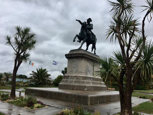
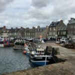
The next leg took us to Saint-Vaast-la-Hougue on the coast of Cotentin/Normandy. The perfectly sheltered harbour is accessible 2 hours before and 3 hours after high water. Arriving at the wrong time means anchoring in deep water off the coast for a long wait.
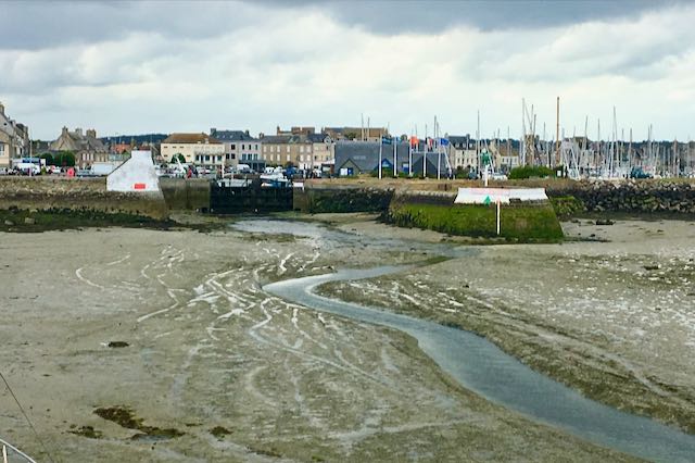
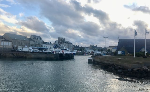
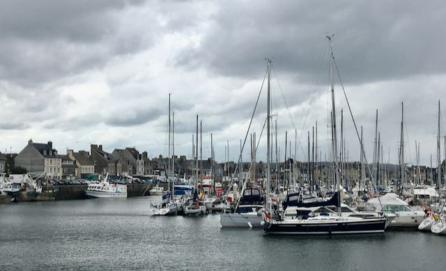
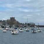
Saint-Vaast-la-Hougue located at the English Channel is an active fishing port that should not be left out. For once it is an exceptionally pretty town, then there is the île de Tatihou, whose much admired towers are listed by UNESCO World Heritage Site. We explored the surroundings and cycled with our bikes to Barfleur, a village with an impressive history taking pride in calling themselves on the their website the „most beautiful village of France“.
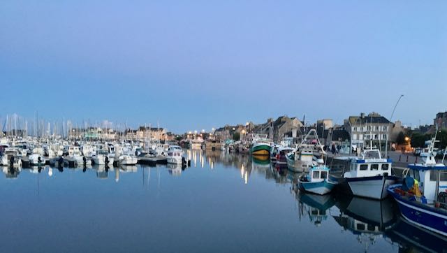
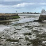
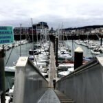
Like with most of the other ports at the Channel having tidal ranges of up to 8 m, you will find the harbour entrance high and dry at low water (the green part). Here is where tide calculations come into play.
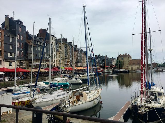
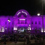
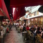
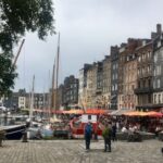
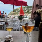
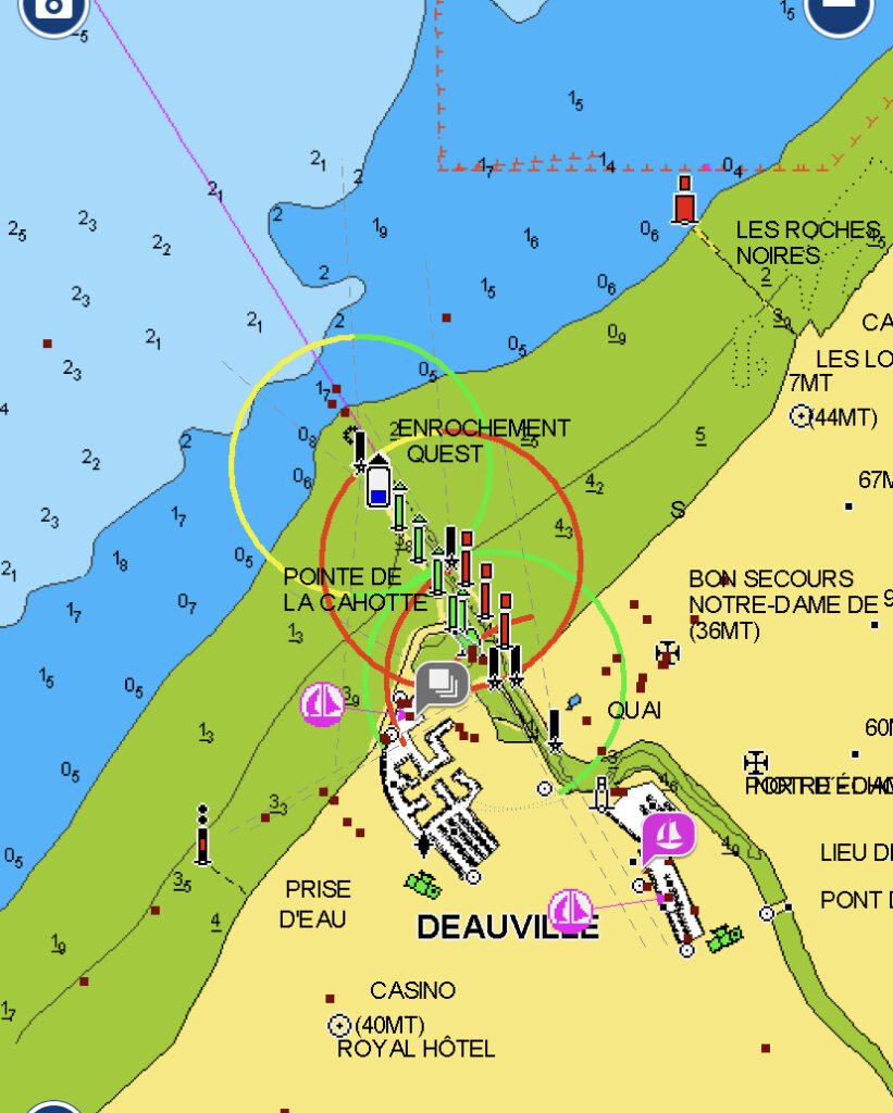
Deauville has been a fashionable and prestigious seaside resort for generations. It is here where the Parisian love to escape to from the summer heat in the city. The Grand Casino is a landmark for the mariner coming from sea. Trouville-sur-Mer used to be a modest fishing port, however famous for its oyster beds. It is a historic city with picturesque little streets and it has a pleasant and authentic atmosphere. We enjoyed the French „savoir vivre“ at one of the numerous restaurant. For lovers of seafood it is an absolute gourmets paradise.
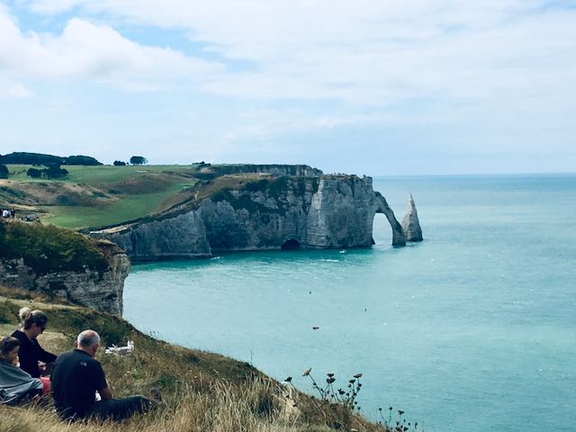
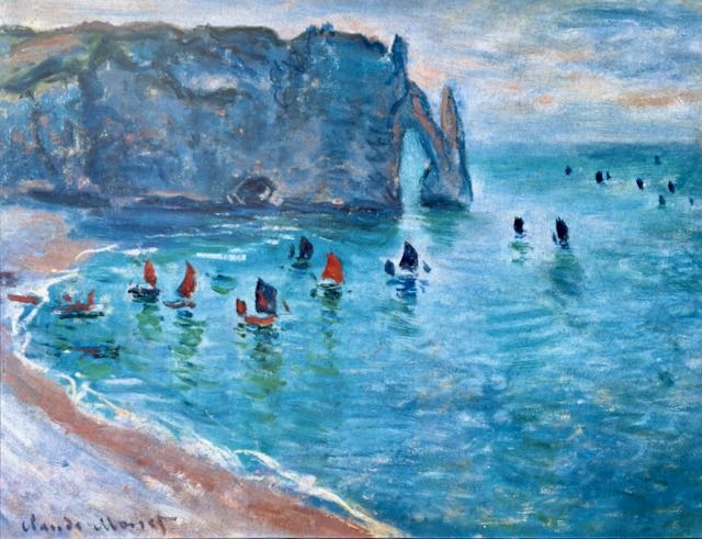
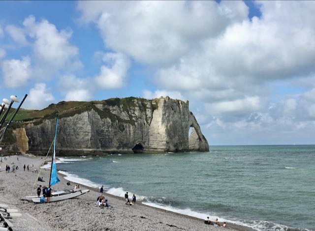
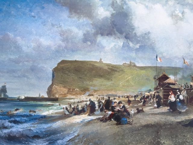
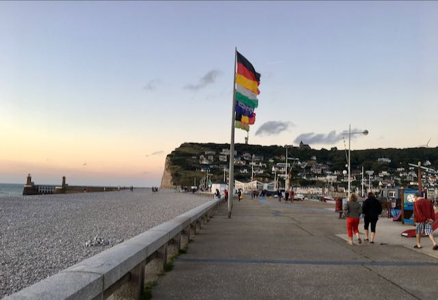
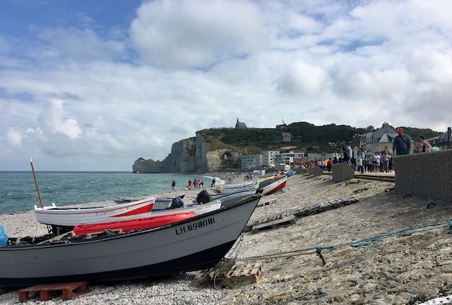
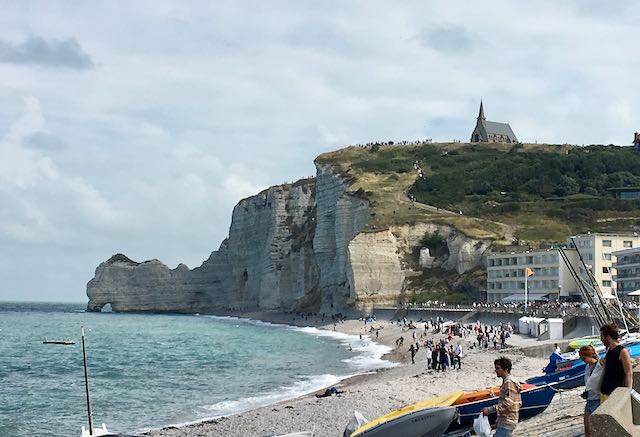
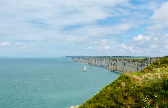
The next leg took us to Fécamp and from there we continued to Dieppe and Boulogne-sur-Mer. Because of its famous white cliffs and unique rock formations the coast has been named Alabaster Coast. It has long inspired artists. Famous French impressionist have painted the amazing needle-structure, which the French call Aiguille, on canvas.
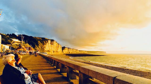
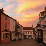
After an awesome sunset we set off the following morning for returning home to the Netherlands. We made a stopover at Schevingen and treated ourselves to an excellent dinner at the „Catch by Simonis“, which in our opinion is a Dutch seafood restaurant hardly to be topped.
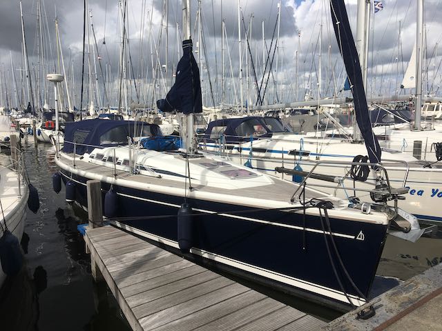
We had been underway for almost 5 weeks but still it felt like having to rush. There were harbours and anchorage where would have liked to spend more time, or which we had to leave out in total. To sail the southwest coast of England e.g. would have required more time. But let’s not be ungrateful, it was an awesome trip!!
